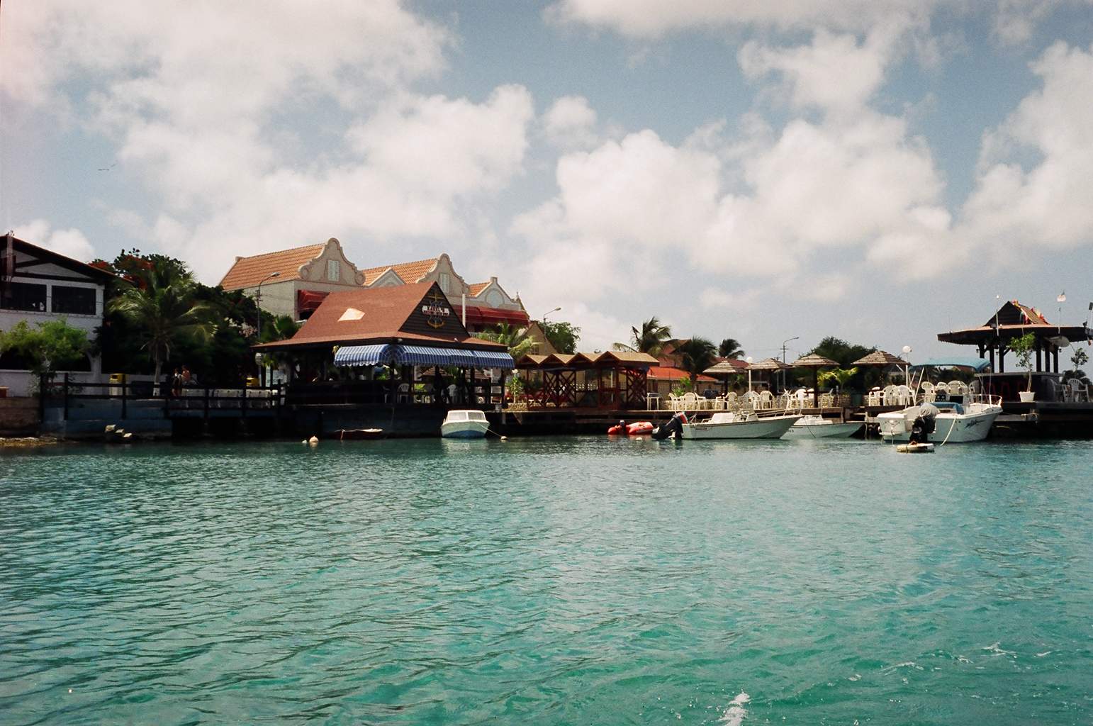
 Dinghy dock at Karel's Bar - Bonaire
 July 1, 1996
Bonaire,
Netherlands Antillies
Dear Friends,
I am sitting at anchor beside the town of Kralendijk (good luck trying to pronounce
that, I've been here almost 3 weeks and I still just call it downtown Bonaire). The Island
(13,000 pop, 24 miles x 4 miles) has all the thrill and excitement of Manotick on a Monday
night but with a down island flavour. The real BIG differences are: the water temperature
is about 85 degrees F. and gin clear with more fish and beautiful corals than I have ever
seen, the air temperature about 85-90 degrees and sun every day and the only
traffic I follow each day is the AT&T High Seas traffic list (list of boats with calls
waiting).
Dinghy dock at Karel's Bar - Bonaire
One of the most interesting and unexpected things about the Island is how arid it is,
they get very little rain (24 inches per year) so the island is part desert with cactus
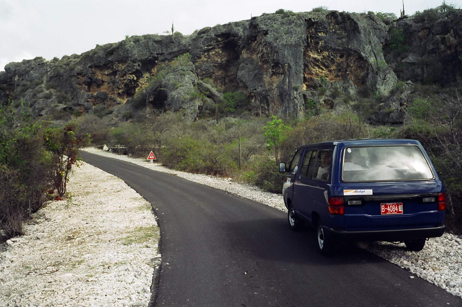
growing everywhere. We rented a minibus with two other couples to tour the Island. The
northern quarter of the Island is a National Park. It is spectacular! You drive along one
way trails (in most cases a very rough goat path) best suited to a four wheel drive jeep.
The trails wind through the desert valleys to the sea then follow the northern sea shore
before looping back to the park entrance. There are many off shoots from the main trail
that take you to beautiful sand beaches or coves where waves are funneled in and break
spectacularly sending spray 50 to 100 feet into the air. Other trails take you into
interior water holes where birds and other desert wild life congregate. Six foot long
Iguanas come out to the car looking for hand-outs. There are also several natural salt
pans along the trail where pink flamingos nest and if approached slowly and cautiously
will allow you to get within 100 yards of the flock.
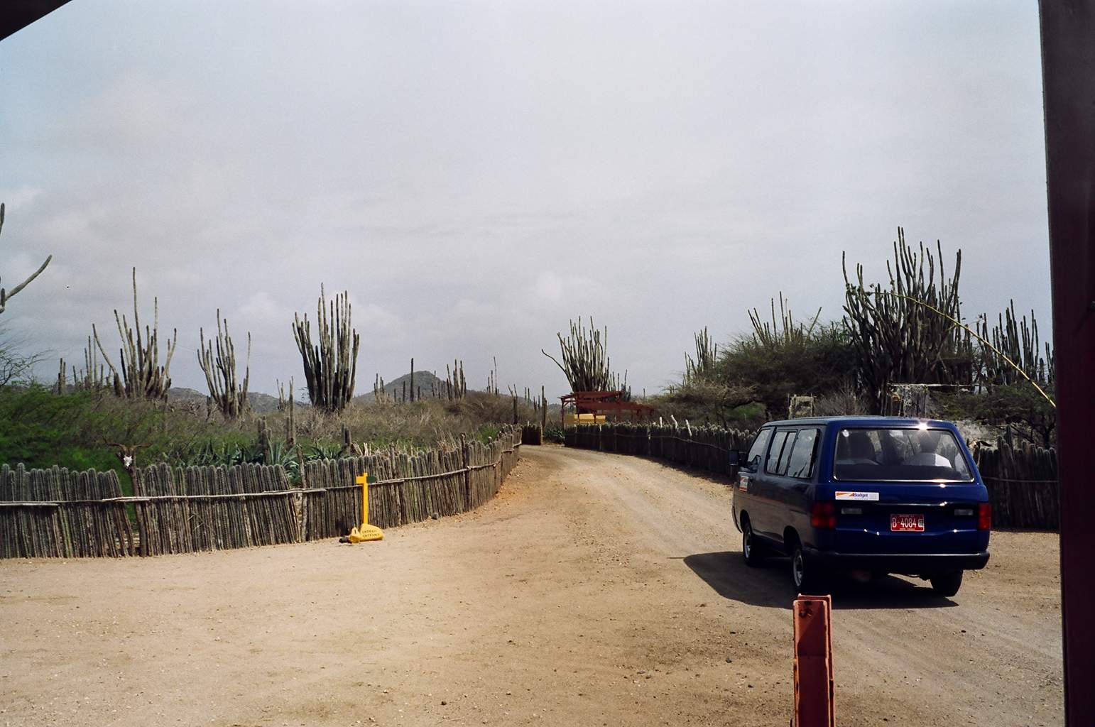 Entrance to Washington - Slaghaai National
park
Entrance to Washington - Slaghaai National
park
The southern third of the island is just barely above sea level. The area has been
developed into a solar salt works. Sea water is pumped into evaporation pans and
eventually crystallizes and is harvested. The size of the island made it possible to see
all the points of interest in just one day. It was well worth the small cost.
It is nice to slow down. The first part of this trip was too much too fast. I left
Ottawa on April 7th and followed the boat to Annapolis through a snow storm. I
spent the next 2 weeks with the boat on the ground in Annapolis doing some of the 1,000
jobs that needed doing. Chuck Delabio (Chinook) arrived about the 20th. We had
the boat launched and headed down the Chesapeake. It was still very cold, on a few days I
wore gloves, wool cap and ski jacket. The temperature improved a bit by the time we
reached Norfolk Va. Motoring through the US Navy docks is an experience you never forget.
We know these boats are big but, sitting in the water under the bow of an aircraft carrier
gives new meaning to the word massive. AND, there are thousands of them, aircraft
carriers, nuclear submarines, destroyers and support vessels of every size and shape all
bristling with weapons, radar and communications equipment. To compare it to Halifax is to
compare your driveway to the parking lot at a Super Bowl game.
From Norfolk we headed south through the inter-coastal waterway. Sometimes referred to
as the 'Ditch' this water highway goes from New York to Key West inside the coast line.
Certainly a nicer and safer way to pass south of Cape Hatteras. We passed through one
canal, connecting the Elizabeth River in Norfolk to the Abemarle Sound, called the Dismal
Swamp Canal. Quite interesting, a narrow canal cut through a mangrove swamp, trees at
places form a natural canopy over the canal. Not really all that dismay to pass through
BUT to build….I expect very dismal. We continued south through the Alligator River
and Canal, across Pamlico Sound and on out to the Atlantic at Moorhead City NC.
 Motoring through Dismal Swamp Canal
At Moorhead City Chuck and I re-provisioned and waited the arrival of two other friends
from Nepean Sailing Club in Ottawa, Bernie Coyne (Amigo V) and Stan Bradshaw (Corker) to
help with the Atlantic passage. We prepared the boat and lashed everything up like a
Thanksgiving Turkey. We waited for about 4 days for a 'weather window' then with eyes
closed and a quiet 'Oh s**t' from me we headed out into the Atlantic. The passage to St.
Thomas in the US Virgin Islands took 12 days but was really pretty good. We had excellent
weather and nothing too challenging for boat or crew. I thanked Neptune everyday and
shared a drop of rum with him at every occasion.
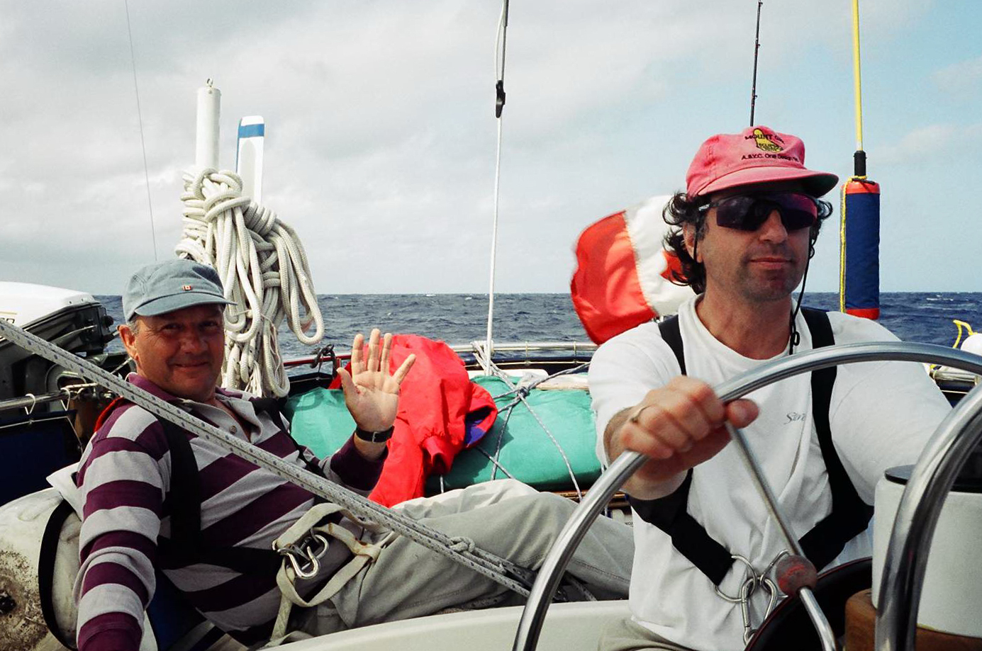 Chuck and Bernie on Watch 400 miles off
Beaufort NC
Chuck and Bernie on Watch 400 miles off
Beaufort NC
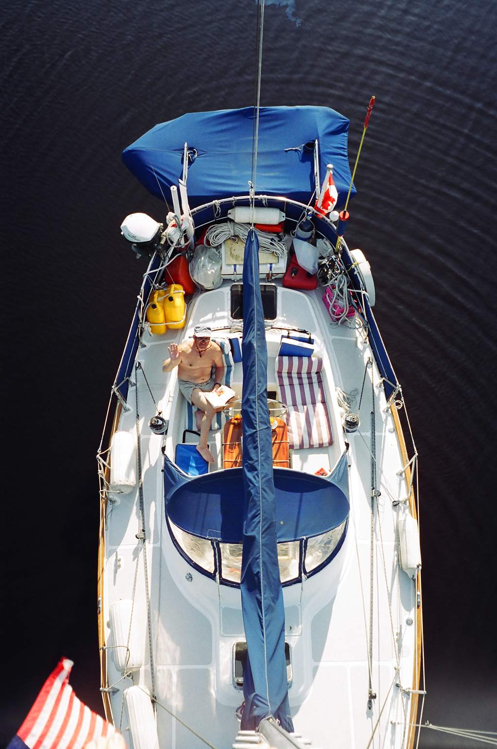
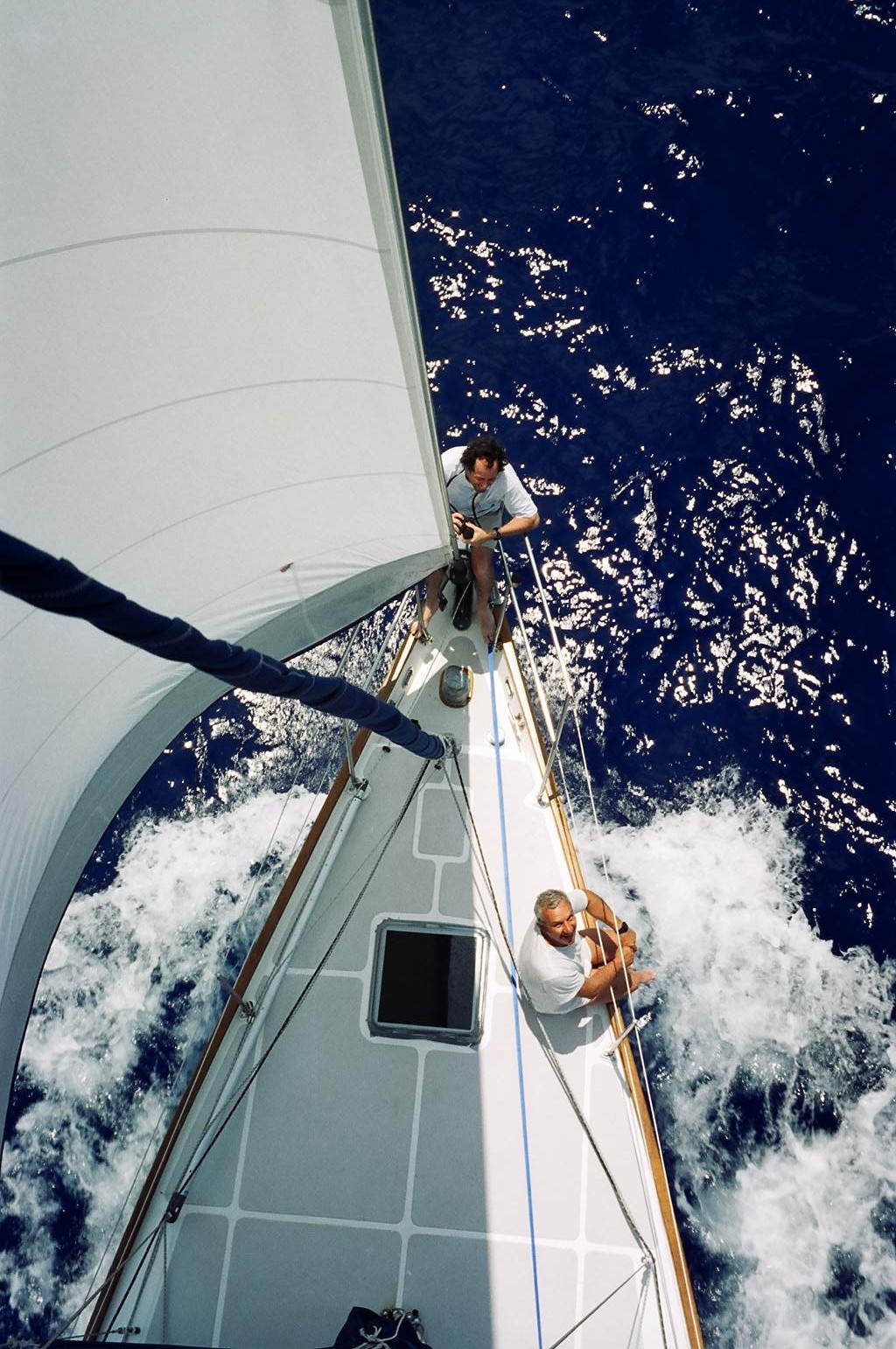 Relaxing on the foredeck south of Bermuda
We first sighted St. Thomas from about 20 miles out at 4:00pm on the 12th
day. By the time we rounded the Island and tied to the marina dock in Charlotte Amalie it
was about 2:00 am. After 12 days at sea it was a sight to behold. However unlike sailors
of old my crew passed up the local women and went off in search of an ice cold Coke (I had
the refrigerator turned off for the passage to save battery power). The Bernie and Stan
flew home from St. Thomas a couple of days later and Chuck and I went out to anchor for
the next 10 days till Evelyn arrived.
St. Thomas is not that pretty an Island. It is the most populated and was severely
damaged by hurricane Marilyn last year. So we went to the neighboring Island of St. John
to anchor and relax. Most of St. John is in fact a national park and is very clean and
well taken care of. The beaches and coves along it's shore are all pristine, the coral
reefs protected and very nice to snorkel around (does not even compare with Bonaire
though). There is only one real 'town' on the island, Cruz Bay. It's pretty much a tourist
town but has the added amenity of tourists (not just the shops). So Chuck and I spent one
evening taking in the scenery and dancing till the wee hours of the morning to the very
infectious music of a live reggea band..
 Chuck sightseeing in Cruz Bay, St. John, USVI
When Evelyn arrived on June 2 we again prepared the boat for sea and sailed to St.
Croix for three days and then across the Caribbean Sea to Bonaire (a 3day passage of about
400 miles). Once again we waited for weather and had a good, uneventful passage. This was
a first for Evelyn, she was not pleased with the discomfort of ocean sailing and
threatened to jump ship if a cruise boat or plane came within hailing distance but in the
end she stood her watches and completed her first offshore passage. I have to admit that
offshore sailing is not the fun part. The sea tosses you around like a pea in a rattle,
everything takes tree times longer to do and when you do get chance to sleep it's not
uncommon to have a wave throw you from the bunk. Fortunately all the hard stuff is over.
For the next two years the longest trip between Islands is about 80 miles and far less
between many of the windward islands. I for one will not miss ocean passages.
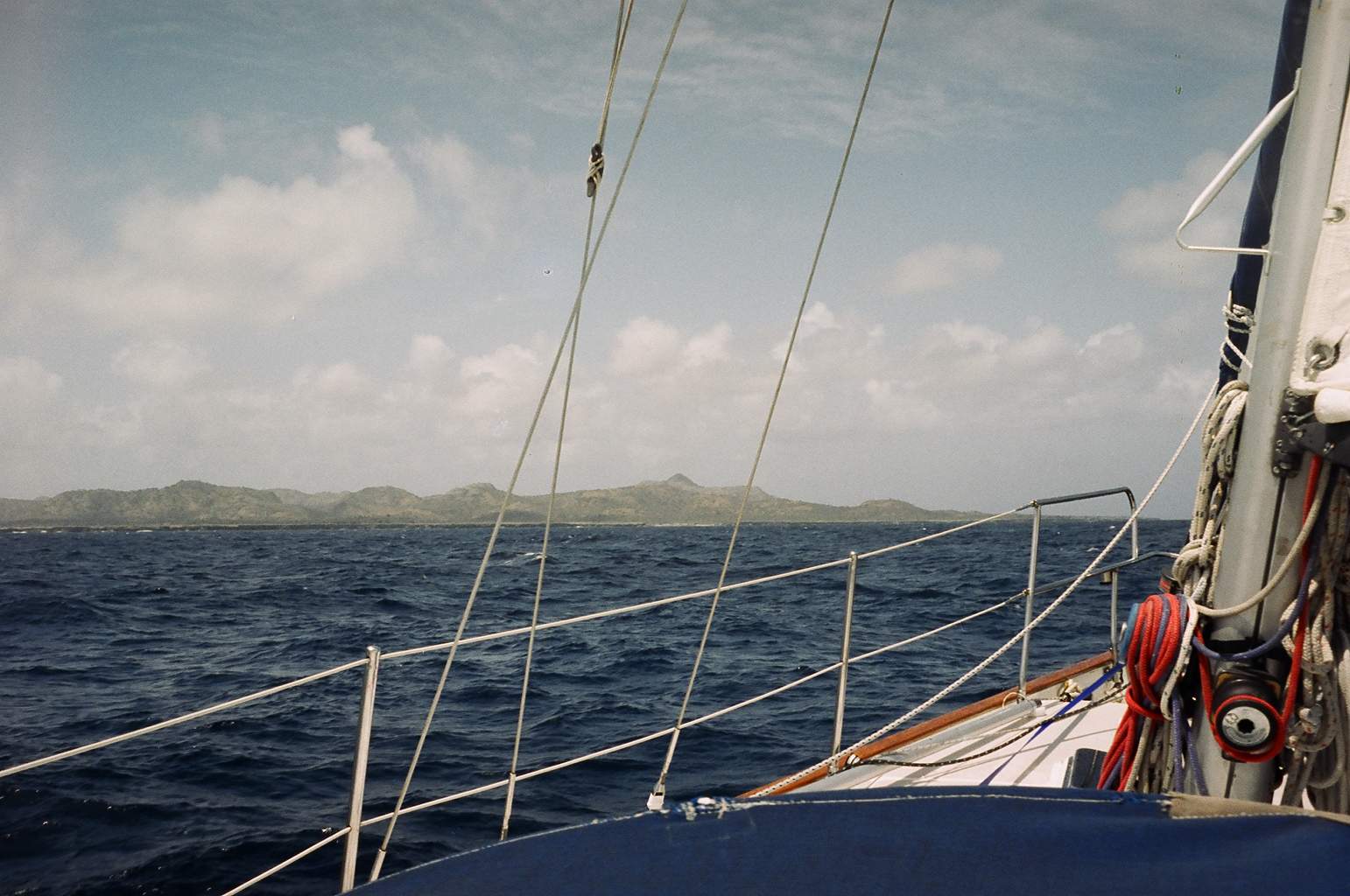 Approaching the Island of Bonaire
So, that brings us to Bonaire and the end of June. We will probably leave for Venezuela
early next week. We will make an overnight crossing (60 miles) to Chichiriviche, then
visit Morrocoy National Park, then head into Puerto Cabello. From there we will head out
to the out Islands for a few weeks. Las Aves and Los Rocques are beautiful deserted
tropical Islands that by all accounts are a 'must see'. They are close to Bonaire but
Bonaire is very expensive (rum $20US, beer $2.US/bottle!) and Venezuela very inexpensive
(rum less than $2US and beer about $5US /case!) so we will re-provision on the Venezuelan
mainland before heading to the out islands.
That's all the news from 'Pirate Jenny'. I hope summer has finally arrived in Canada
and wish you all fair winds and pleasant anchorages.
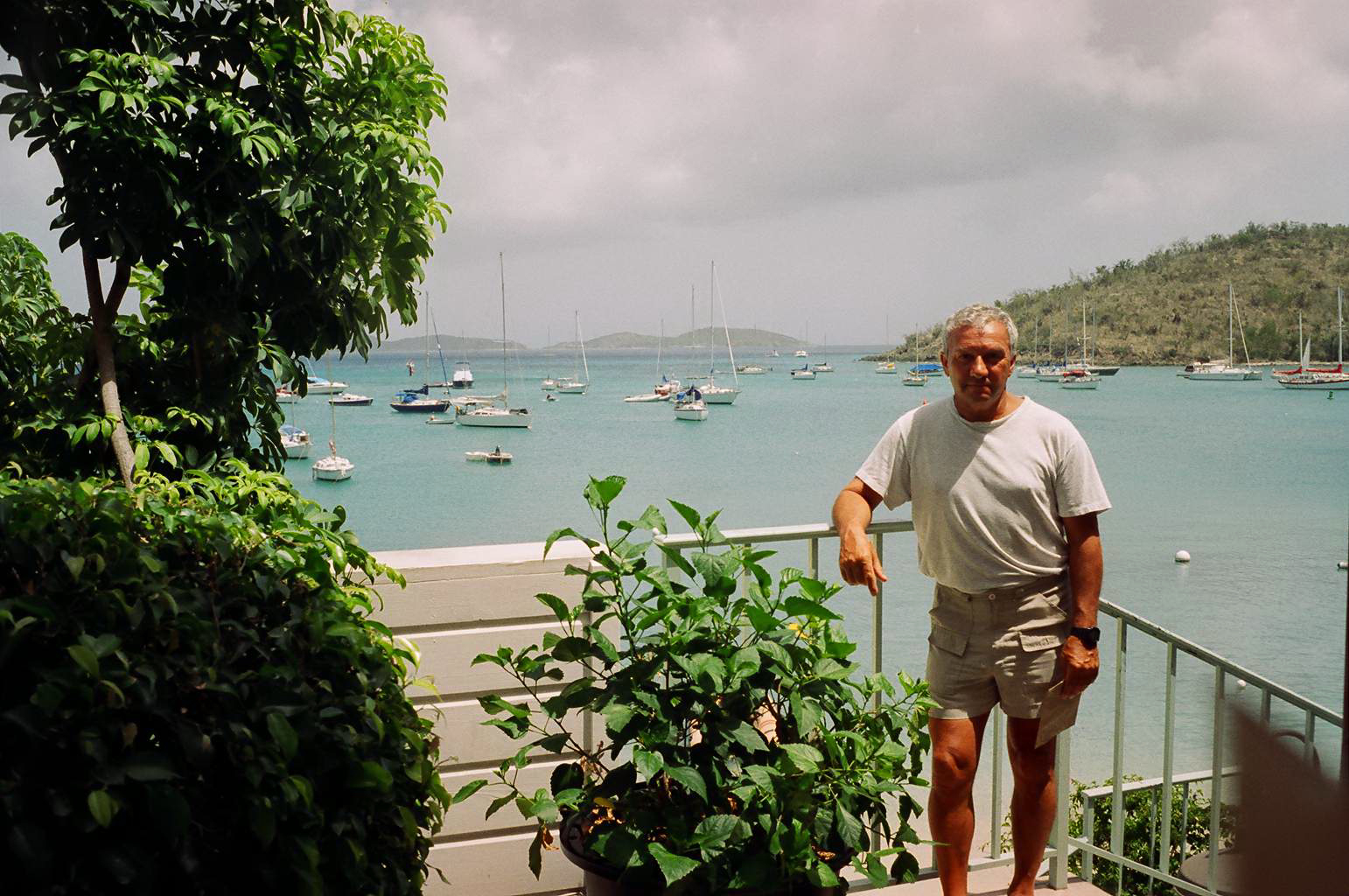
 Sightseeing in Bonaire
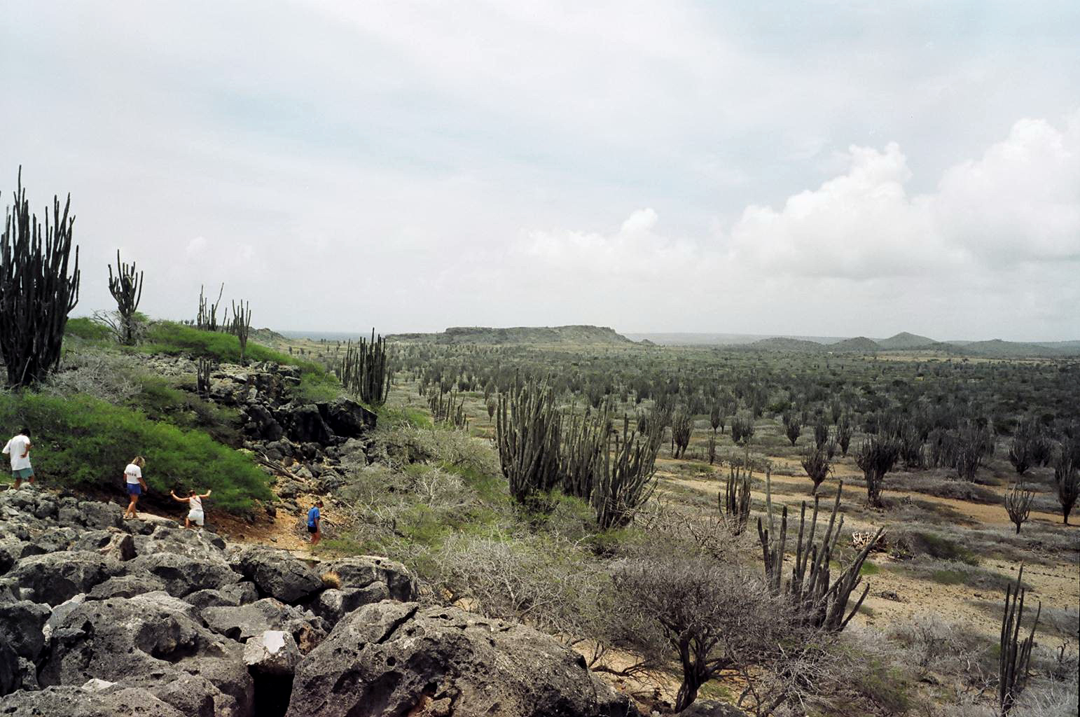 Walkabout in the desert park
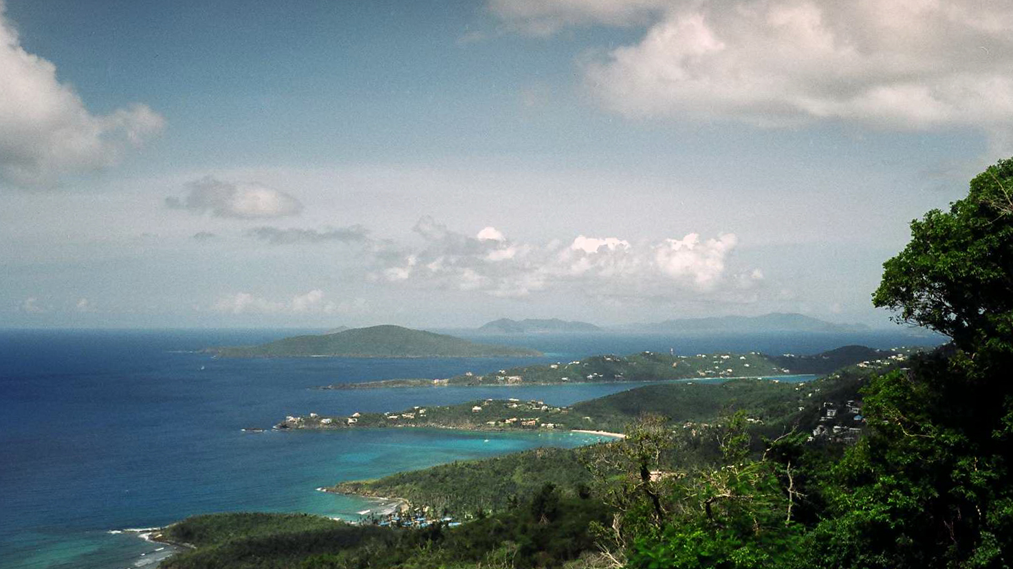 St. Thomas USVI